-
GIS Data Migration – Scanning, Digitization, Geo-rectification & Database Creation...
-
Geological Mapping on 1:50,000 Sclae using Landsat ETM & ASTER Imagery for Lithology...
-
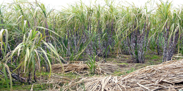
Agriculture Land Use, Mapping the Crops using Satellite Imagery...
-
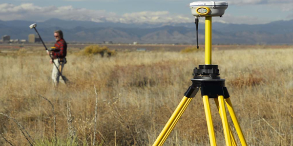
Ground Control – GPS,DGPS, Topographic survey & Contouring, Total Stations, Terrestrial LiDAR...
-
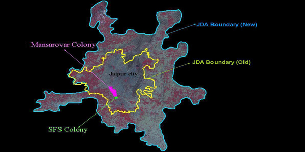
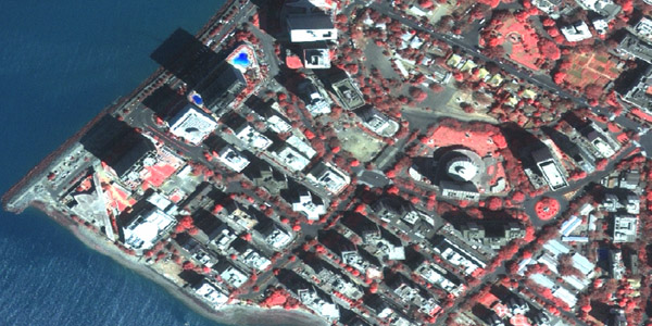
Large Scale, 3D City Maps, Master Plan Preparation...
-
Corridor Studies – Transportation & Utilities, Ground Penetrating Radar (GPR) Surveys for Underground Utilities...
-
Geo Spatial Databases & Development
-
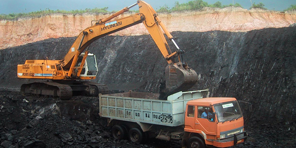
Geology & Mining
-
Agriculture, Forestry & Environment
-
Land Surveys
-
Urban & Rural Planning
-
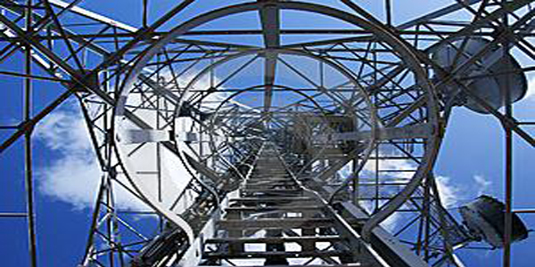
Utility & Infrastructure